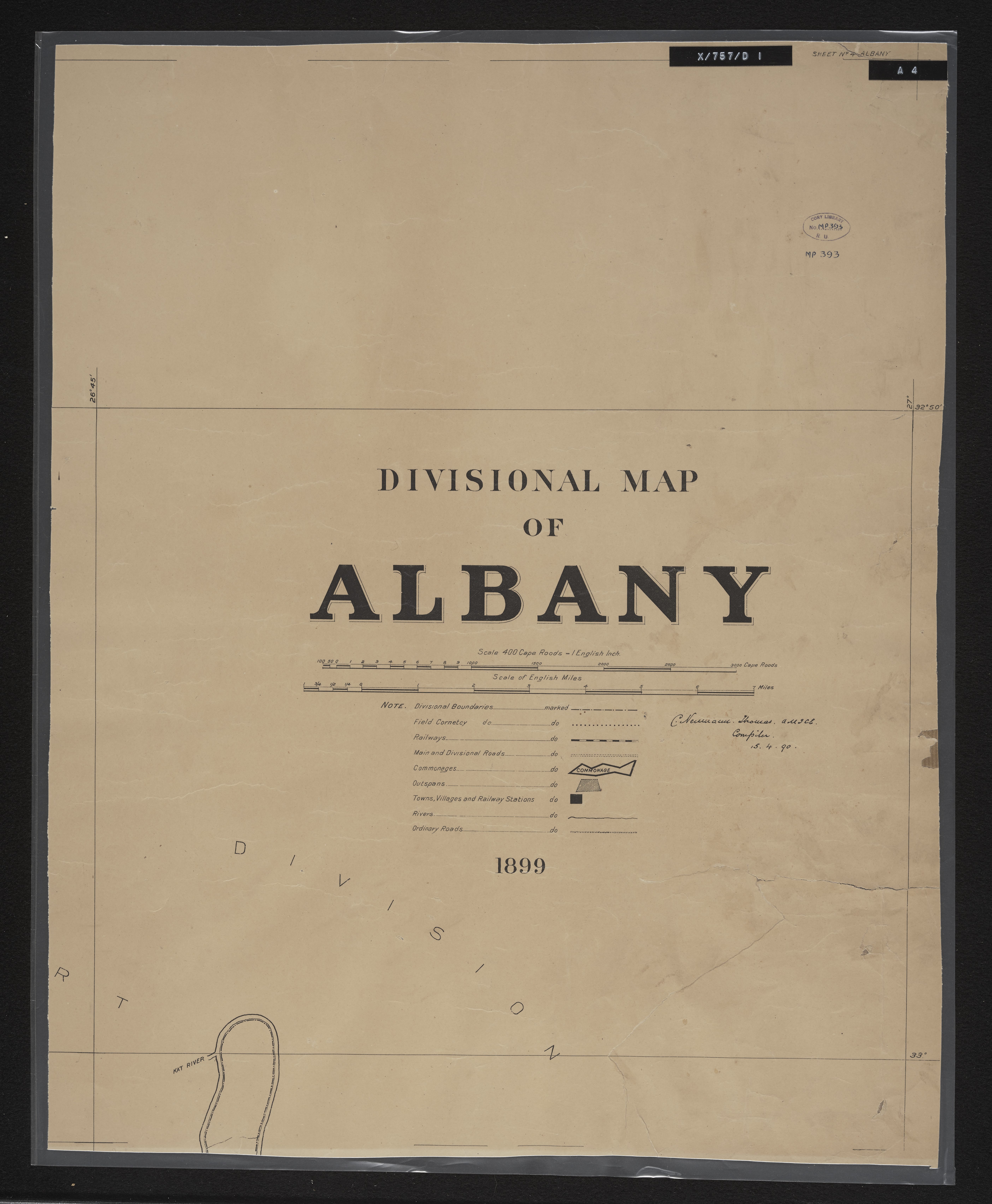
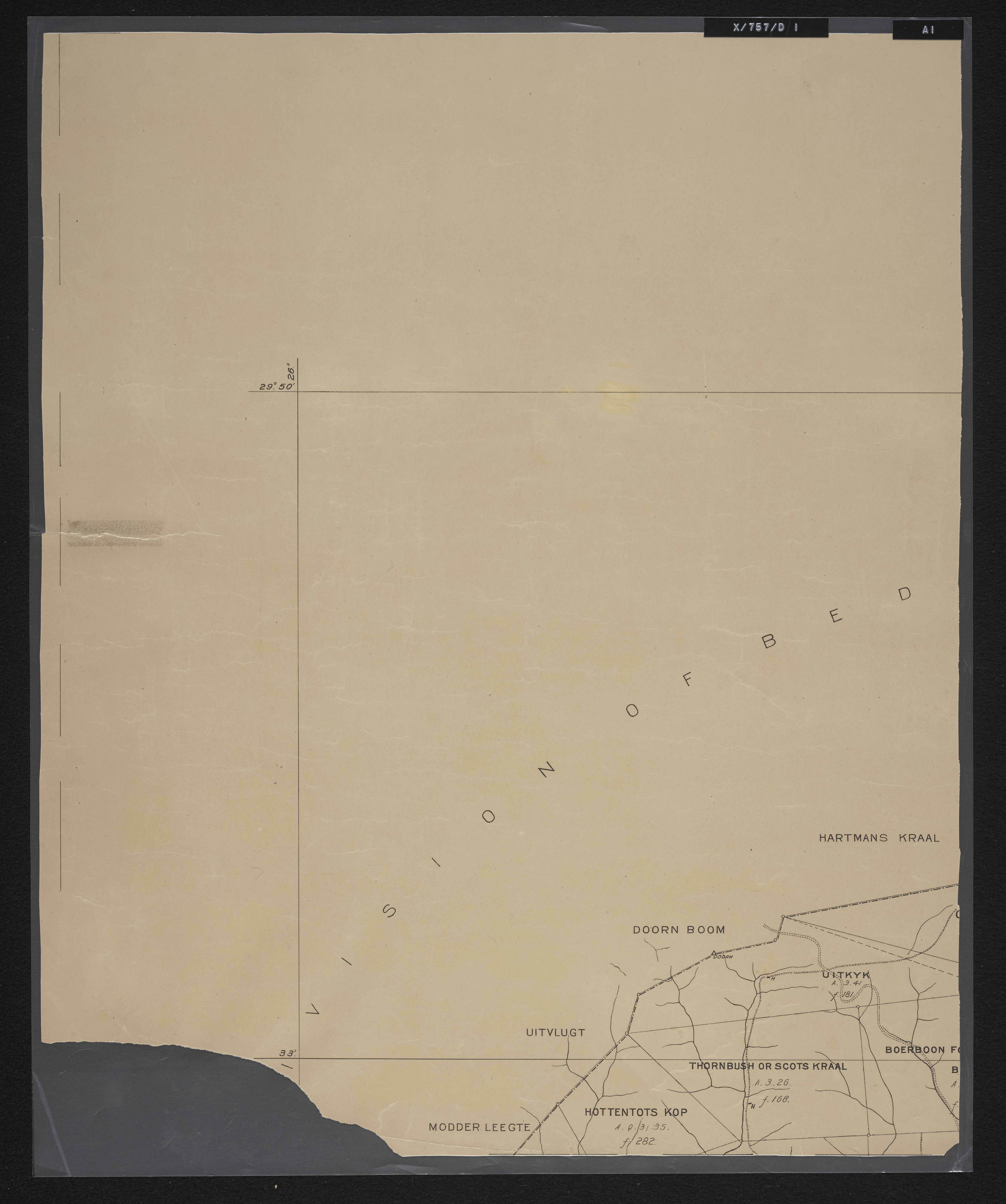
Divisional map of Albany
Item
-
Date Issued
-
1899
-
Description
-
An incomplete series of sheets in 10 sections (laminated working copy) MP 390-394.
-
Scale
-
1 inch = 840 Cape roods
-
Publisher
-
Surveyor General's Office
-
Type
-
cartographic
-
Genre
-
maps
-
Format
-
jpg
-
Extent
-
10 sheets, 53 x 41 cm
-
Language
-
English
-
Rights Holder
-
Thomas, Charles Neumann, 1840-1923
-
Archive
-
Original held at Cory Library for Humanities Research, situated at Rhodes University.
-
Asset No.
-
MP390-394
-
Identifier
-
http://hdl.handle.net/10962/122018
-
useGuidelines
-
10 sheets, 53 x 41 cm