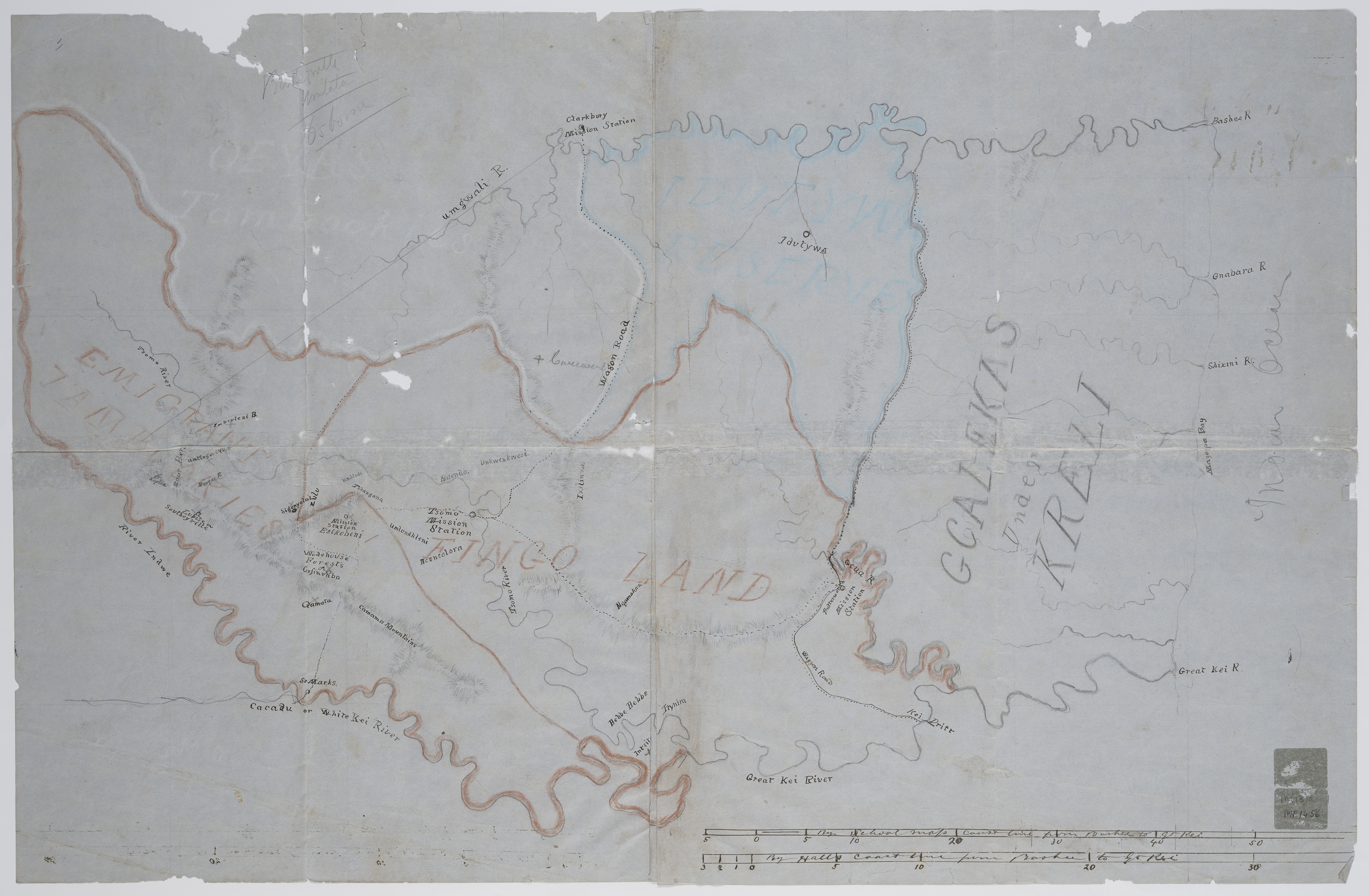
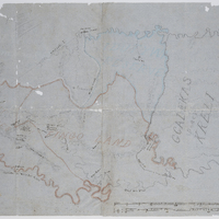
Outline maps of the territory between the Kei and Bashee Rivers
Item
-
Date Issued
-
18uu
-
Description
-
Outline maps of the territory between the Kei and Bashee Rivers. Some mission stations marked. 2 scales given on MP 1456 (1" = c.5 miles and 1½" = c.5 miles); no scale given on MP 1457.
-
Type
-
cartographic
-
Genre
-
maps
-
Format
-
jpg
-
Extent
-
2 sheets, 63.5 x 51 cm + 63.5 x 40.5 cm
-
Language
-
English
-
Archive
-
Original held at Cory Library for Humanities Research, situated at Rhodes University.
-
Asset No.
-
MP1456-1457
-
Identifier
-
http://hdl.handle.net/10962/122131
-
useGuidelines
-
Public Domain