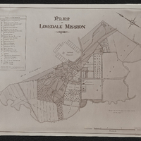
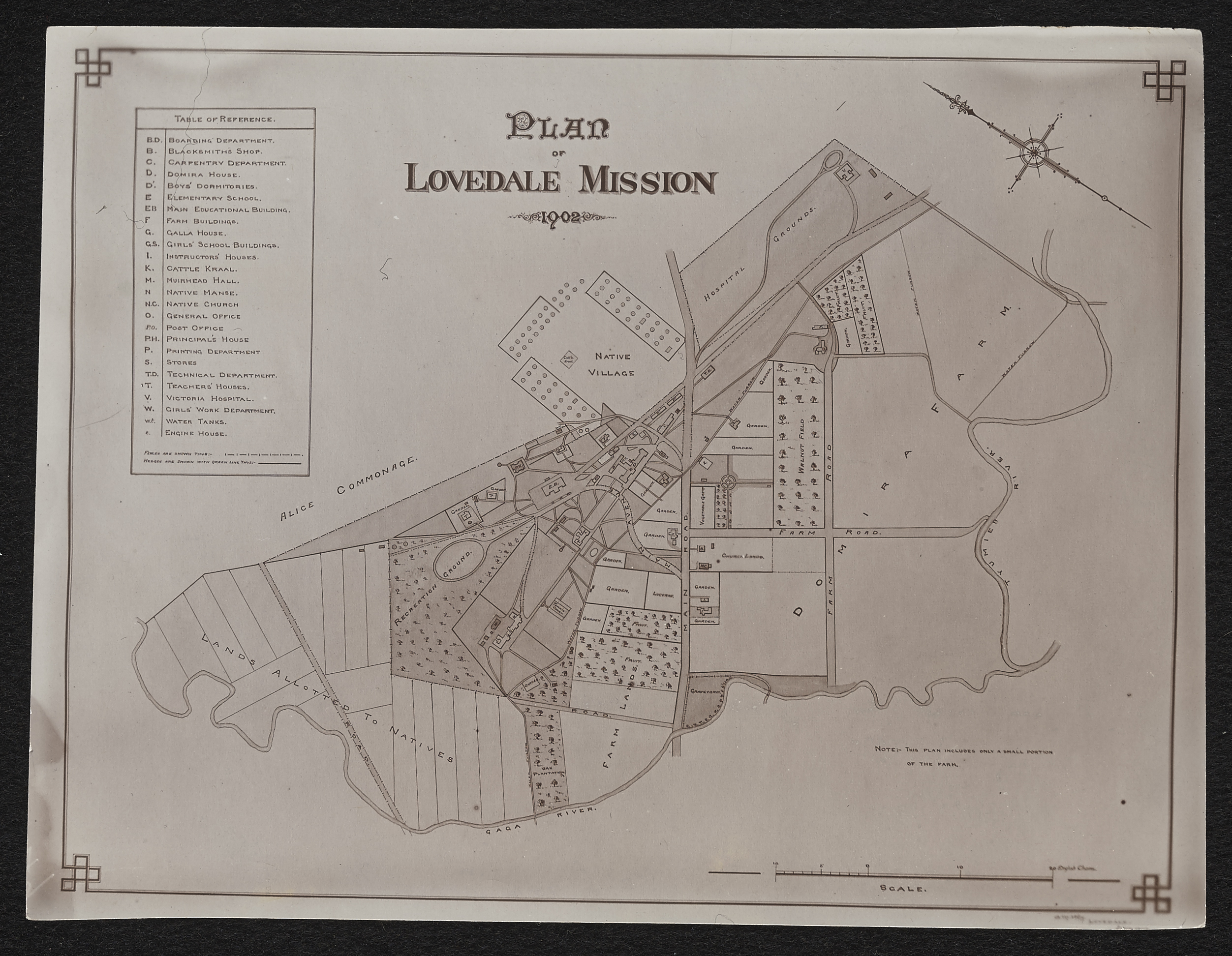
Lovedale,Plan of Lovedale mission 1902,South Africa 1:50000 sheet
Item
- Date
- 1902
- Description
- Plan of Lovedale Mission 1902. Photograph.
- Scale
- 1 inch = 15 English chains
- Subject
- Lovedale Institution -- Maps
- Alice (South Africa) -- Maps
- South Africa -- History -- 1806-1909 -- Maps
- Type
- cartographic
- Genre
- maps
- Format
- jpg
- Extent
- 1 sheet, 20 x 15 cm
- Language
- English
- Archive
- Original held at Cory Library for Humanities Research, situated at Rhodes University.
- Asset No.
- MP189
- Identifier
- http://hdl.handle.net/10962/115793
- useGuidelines
- Public Domain