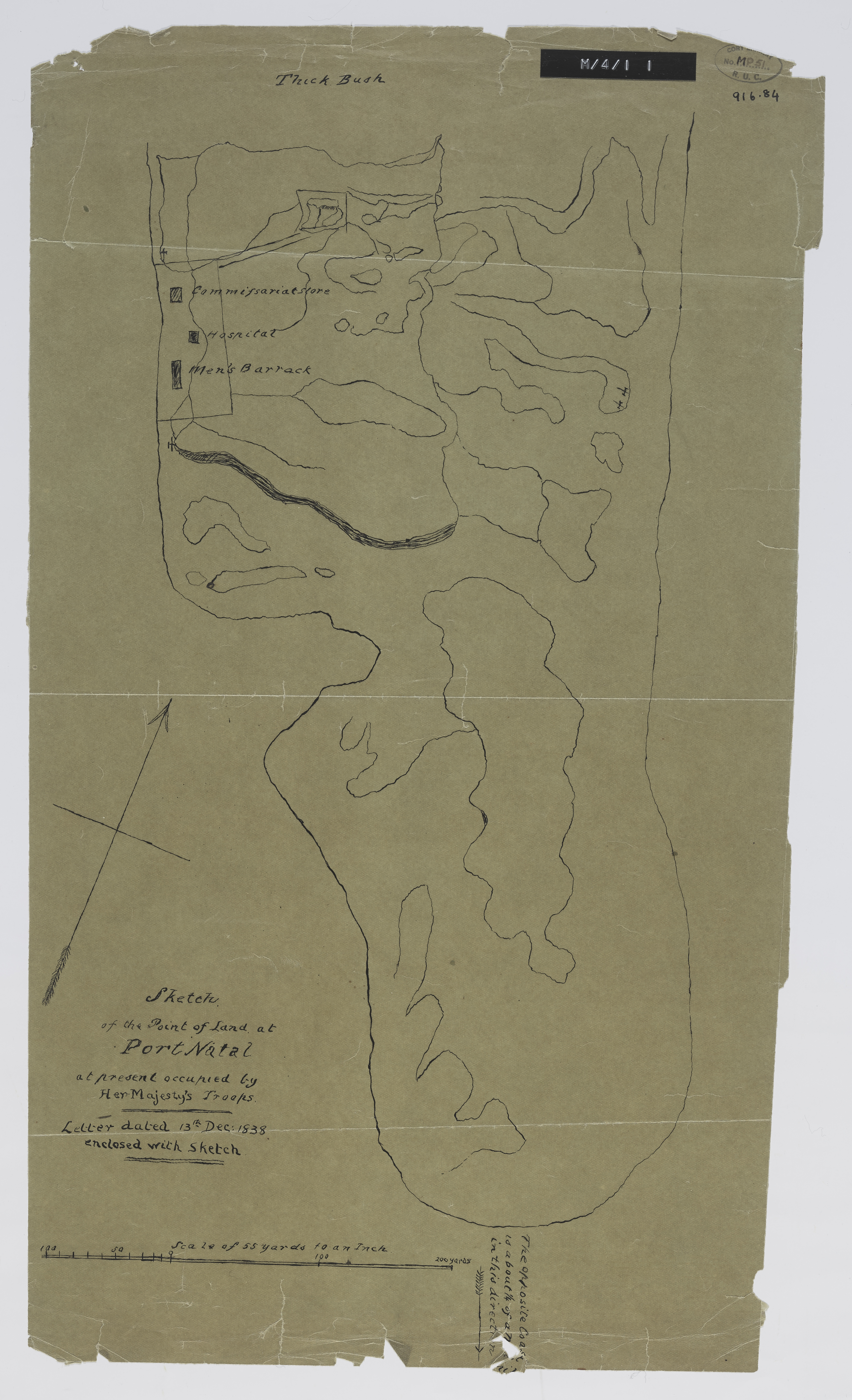
Sketch of the point of land at Port Natal at present occupied by Her Majestry's troops
Item
- Date Issued
- 1838
- Description
- Copied by Walter P. Jones, 23rd July 1873.
- Subject
- Natal Bay (South Africa) -- Maps
- KwaZulu-Natal (South Africa) -- History -- To 1843 -- Maps
- Military Maps
- Type
- cartographic
- Genre
- maps
- Format
- jpg
- Extent
- 1 sheet, 17.5 x 10 inches
- Language
- English
- Archive
- Original held at Cory Library for Humanities Research, situated at Rhodes University.
- Asset No.
- MP51
- Identifier
- http://hdl.handle.net/10962/57275
- useGuidelines
- 1 sheet, 17.5 x 10 inches
- Item sets
- Pre 1910 Maps