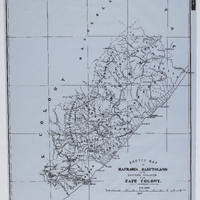
Sketch Map of Kafraria, Basutoland and the eastern frontier of the Cape Colony
Item
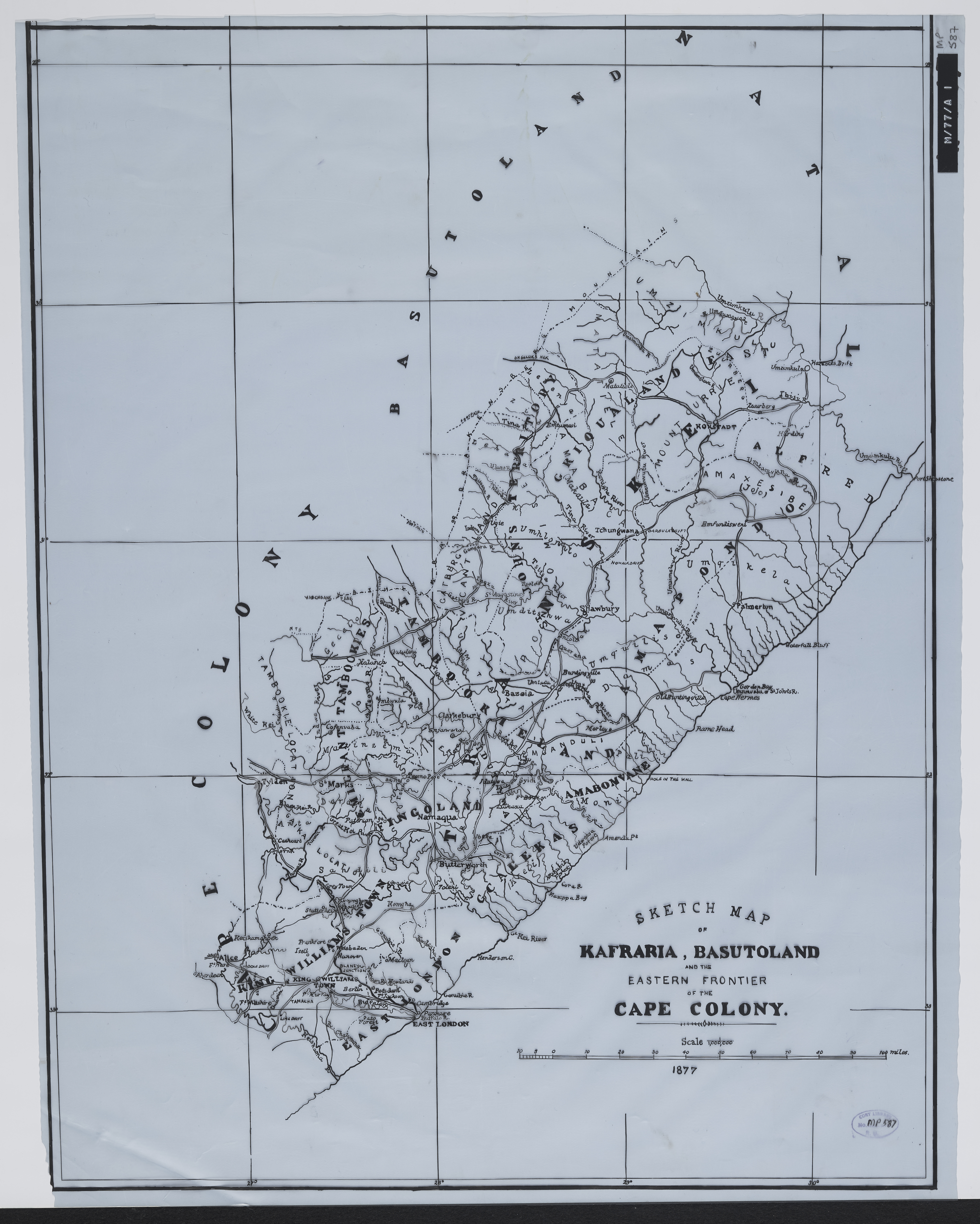
- Date Issued
- 1877
- Type
- cartographic
- Genre
- maps
- Format
- jpg
- Extent
- 1 sheet, 22 x 17 in
- Language
- English
- Rights Holder
- Great Britain. Army. Quarter Master General's Department
- Archive
- Original held at Cory Library for Humanities Research, situated at Rhodes University.
- Asset No.
- MP587
- Identifier
- http://hdl.handle.net/10962/54839
- useGuidelines
- 1 sheet, 22 x 17 in
- Item sets
- Pre 1910 Maps