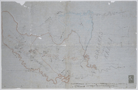
Outline maps of the territory between the Kei and Bashee Rivers. Some mission stations marked. 2 scales given on MP 1456 (1" = c.5 miles and 1½" = c.5 miles); no scale given on MP 1457.
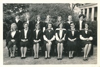
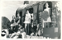
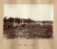
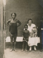
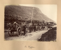
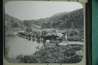
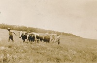
Album relating to the Zulu people of Zululand in the Natal Province during the years 1930-31 and 1934, taken at various places, including Chads College, Ladysmith; Springfield, Mooirivier; the Leytown Pohams House ("Hemrock"), Nottingham Road; Umlazi Mission; Etalaneni; Kwamagwaza; on the way to Biyela : mainly photographs, some original, some photocopies, with descriptive text in some cases / photographer unknown. 50 Photographs in one album : b+w (some sepia), 22 cm x 10 cm or less.
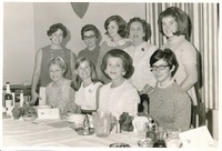
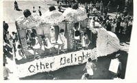
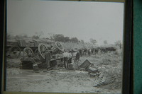
Album relating to the Zulu people of Zululand in the Natal Province during the years 1930-31 and 1934, taken at various places, including Chads College, Ladysmith; Springfield, Mooirivier; the Leytown Pohams House ("Hemrock"), Nottingham Road; Umlazi Mission; Etalaneni; Kwamagwaza; on the way to Biyela : mainly photographs, some original, some photocopies, with descriptive text in some cases / photographer unknown. 50 Photographs in one album : b+w (some sepia), 22 cm x 10 cm or less.
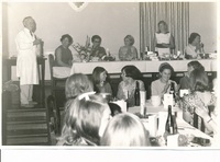
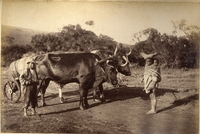
Album relating to the Zulu people of Zululand in the Natal Province during the years 1930-31 and 1934, taken at various places, including Chads College, Ladysmith; Springfield, Mooirivier; the Leytown Pohams House ("Hemrock"), Nottingham Road; Umlazi Mission; Etalaneni; Kwamagwaza; on the way to Biyela : mainly photographs, some original, some photocopies, with descriptive text in some cases / photographer unknown. 50 Photographs in one album : b+w (some sepia), 22 cm x 10 cm or less.
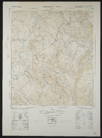
Palingkloof 3226AA. South Africa 1:50000 sheet. Air photography 1943. Field survey 1945. Drawn by the Trigonometric Survey in 1953. T.S.O. 200/1048. (Lugfotografie 1943. Veldopmeting 1945. Saamgestel en geteken in 1953 deur die Driehokesmatings Kantoor.) First edition