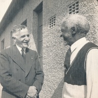
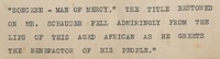
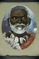
Transcript - "Soncebe - Man of Mercy," The title bestowed on Mr. Schauder fell admiringly from the lips of this aged African as he greets the benefactor of his people"
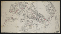
Master layout plan, showing layout of streets and the locations of schools, playing fields, shops, nursery schools, cinemas, clinics, nursing homes, garages, hotels, churches, government buildings, community centres, parks, nursing homes and the railway station. The map also shows the areas around Bethelsdorp including Chatty, Varsvlei, Missionvale, Gelanse, the S.A.N.T.A. hospital and surrounding area, sites for a university, a training college and a technical college as well as a saltpan and salt works. Designed by W.A. Smith. B-Y-9.
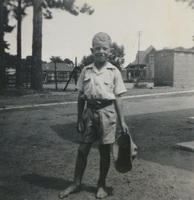
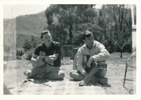
Album relating to the Zulu people of Zululand in the Natal Province during the years 1930-31 and 1934, taken at various places, including Chads College, Ladysmith; Springfield, Mooirivier; the Leytown Pohams House ("Hemrock"), Nottingham Road; Umlazi Mission; Etalaneni; Kwamagwaza; on the way to Biyela : mainly photographs, some original, some photocopies, with descriptive text in some cases / photographer unknown. 50 Photographs in one album : b+w (some sepia), 22 cm x 10 cm or less.
Originally titled "Chief Botman, one of Sandilli's councillors", the title was changed as no reference to a Chief Botman could be verified, and the name 'Bothomane' could easily have been renegated to that of 'Botman' - Wynand van der Walt (18 June 2017).
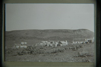
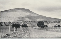
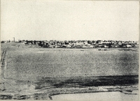
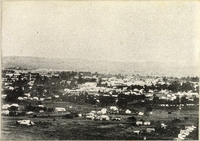
A series of twenty photographs showing scenes of houses (new and old) and landscape of the Oxton and Zweledinga areas of resettlement under the forced removals policy, 1980. Most of the community settled here had voluntarily left Glen Grey and Herschel in 1976, to avoid incorporation into the Transkei homeland, only to be incorporated, at a later date, into Ciskei instead. These photographs were taken by Priscilla Hall.