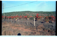
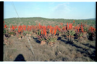
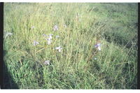
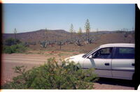
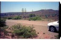
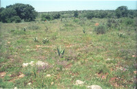
Blue Tulp, Moraea polystachya at roadside. Several similar patches elsewhere along the roadside there. The blueness should be deeper than in the photograph.
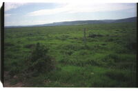
Picture taken from the north with 'Taken Farm' homestead etc. behind the trees. 'Table Hill' is out of picture to the left. 'Noutoe', the origional name for 'Table Farm' was an important outspan place for waggoners to the east in the early 1700's, and later was a farming area from 1784.
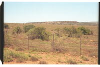
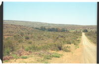
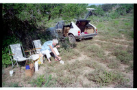
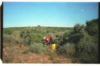
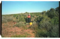
The Noutoe River breaks through the bush-dotted hills on the horizon to the far right centre. This valley was used during the1700's as the main outspan to the east before entering the Great Fish River valley. The 'Grosvenor' rescue mission of 1783, with its 300 personnel and waggons etc, camped here for a fortnight. Dutch farmers settled here and were granted land in 1783.
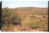
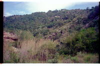
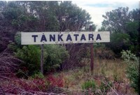
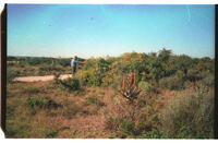
This poort might well be the place which the Khoekhoe named Noutoe(=Swart Poort) from which the area's original name of the 1770's came into currency among whites.