A large exposed mound of sand (dune-like). Western entrance to Paterson village at Sand Flats (origionally Zand Vlakte) in the Alexandria district, 70 km NNE Port Elizabeth.
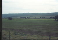
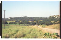
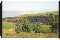
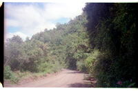
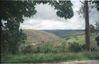
The highest ridge, once known as the Rietberg in the late 1700's and early 1800's, is now known only as the Suurberg, the old name Rietberg having fallen into total disuse. Looking north from 5 km west of Paterson (sandflats), Alexandria, towards the bushy-covered foothills of the Suurberg range (in near distance)
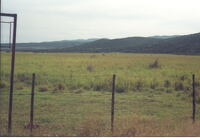
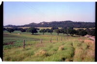
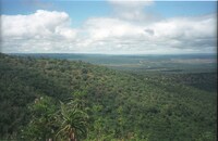
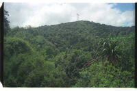
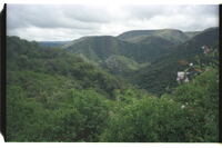
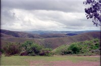
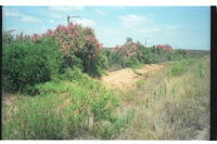
The highest ridge, once known as the Rietberg in the late 1700's and early 1800's, is now known only as the Suurberg, the old name Rietberg having fallen into total disuse. Looking across the bed of the Coerney River near Coerney towards the bush-covered foothills of the Suurberge with the long line of the open sourveld heights far behind.
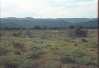
The highest ridge, once known as the Rietberg in the late 1700's and early 1800's, is now known only as the Suurberg, the old name Rietberg having fallen into total disuse. Looking across the bed of the Coerney River near Coerney towards the bush-covered foothills of the Suurberge with the long line of the open sourveld heights far behind.
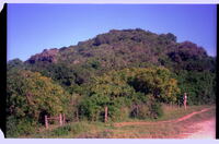
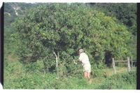
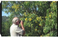
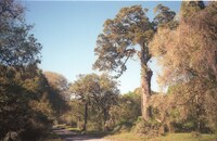
About 33 Milkwood trees, Sideroxylon inerme, survivors of severe bush-clearance for arable lands. Many dozens out of the picture. A remarkable aggregation. Dune bush in background.