Skead, C. J. (Cuthbert John)
Item
-
Alternative Title
-
Jack Skead
-
Subject - Occupation
-
Ornithologist
-
Botanist
-
Naturalist
-
Description
-
Cuthbert John “Jack” Skead (1912–2006) was a renowned South African naturalist, ornithologist, botanist, and historian of the Eastern Cape environment. Throughout his extensive career, he made significant contributions to the study of southern African biogeography, animal distribution, and historical ecology.
Skead served as Director of the Albany Museum in Grahamstown (now Makhanda) and later became a Research Associate at the Percy FitzPatrick Institute of African Ornithology at the University of Cape Town. His enduring legacy includes his meticulous, multi-decadal documentation of species distributions and historical records, culminating in major works such as "Historical Incidence of the Larger Mammals in the Eastern Cape" and subsequent volumes on the Cape Province.
Although best known for his zoological scholarship, Skead was also deeply engaged in botanical research. His field notebooks, habitat photographs, and observations reflect a holistic approach to understanding the interrelationships between plants, animals, and their environments. His botanical interests informed much of his later ecological and historical work, contributing to our understanding of vegetation patterns and environmental change in the region.
-
Given name
-
Cuthbert John
-
familyName
-
Skead
-
gender
-
Male
Linked resources
Items with "Creator: Skead, C. J. (Cuthbert John)"
| Title |
Class |
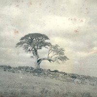
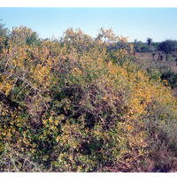 Tankatara Farm, Sunday's River Valley Tankatara Farm, Sunday's River Valley |
Image
|
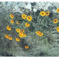
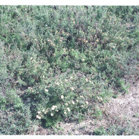 Tankatara Flats Tankatara Flats |
Image
|
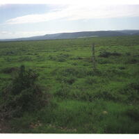 Tankatara Flats on right (west) bank of Sunday's River looking north to Sunday's River hills. Tankatara Flats on right (west) bank of Sunday's River looking north to Sunday's River hills. |
Image
|
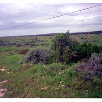 Tankatara Flats on right (west) bank of Sunday's River looking south to low bushy slopes in distance Tankatara Flats on right (west) bank of Sunday's River looking south to low bushy slopes in distance |
Image
|
 Tankatara Flats, Port Elizabeth Tankatara Flats, Port Elizabeth |
Image
|
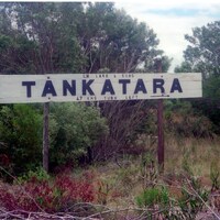 Tankatara sign Tankatara sign |
Image
|
 Tankatara, Sunday's River Valley Tankatara, Sunday's River Valley |
Image
|
 Tankatara, Sunday's River Valley Tankatara, Sunday's River Valley |
Image
|
 Thamarha, 12 km SW of King William's Town Thamarha, 12 km SW of King William's Town |
Image
|
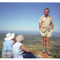
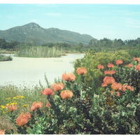 The dam at Van Staden's Nature Reserve, 30km west of Port Elizabeth, With Witteklip Mt. In the background The dam at Van Staden's Nature Reserve, 30km west of Port Elizabeth, With Witteklip Mt. In the background |
Image
|
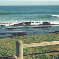 The submarine rock at Schoenmakerskop The submarine rock at Schoenmakerskop |
Image
|
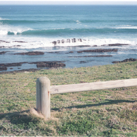 The submarine rock at Schoenmakerskop The submarine rock at Schoenmakerskop |
Image
|
 The Swartkops River valley at Redhouse The Swartkops River valley at Redhouse |
Image
|
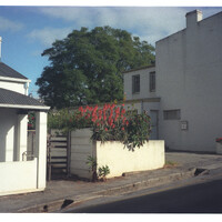 Thompson Street, off High Street, Grahamstown Thompson Street, off High Street, Grahamstown |
Image
|
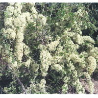
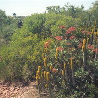
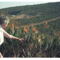
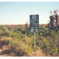 Tipper's Creek Aloe Reserve, Amsterdamhoek, Port Elizabeth Tipper's Creek Aloe Reserve, Amsterdamhoek, Port Elizabeth |
Image
|
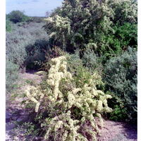
 Tipper's Creek Aloe Reserve, Amsterdamhoek, Swartkops River mouth, Port Elizabeth Tipper's Creek Aloe Reserve, Amsterdamhoek, Swartkops River mouth, Port Elizabeth |
Image
|
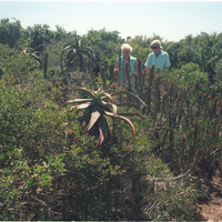
 Tipper's Creek Aloe Reserve, Amsterdamhoek, Swartkops River mouth, Port Elizabeth Tipper's Creek Aloe Reserve, Amsterdamhoek, Swartkops River mouth, Port Elizabeth |
Image
|
 Tipper's Creek Aloe Reserve, Amsterdamhoek, Swartkops River mouth, Port Elizabeth Tipper's Creek Aloe Reserve, Amsterdamhoek, Swartkops River mouth, Port Elizabeth |
Image
|
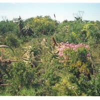
 Tipper's Creek Aloe Reserve, Amsterdamhoek, Swartkops River, Port Elizabeth Tipper's Creek Aloe Reserve, Amsterdamhoek, Swartkops River, Port Elizabeth |
Image
|
 Tipper's Creek Aloe Reserve, Amsterdamhoek, Swartkops River, Port Elizabeth Tipper's Creek Aloe Reserve, Amsterdamhoek, Swartkops River, Port Elizabeth |
Image
|
 Tipper's Creek Road, Bluewater Bay, Amsterdamhoek, Swartkops mouth Tipper's Creek Road, Bluewater Bay, Amsterdamhoek, Swartkops mouth |
Image
|
 Top of Ecca Pass, NE Grahamstown Top of Ecca Pass, NE Grahamstown |
Image
|
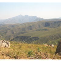 Top of Elands River Escarpment. From Uitenhage district into Humansdorp District Top of Elands River Escarpment. From Uitenhage district into Humansdorp District |
Image
|
 Top of Howison's Poort, 4 km west of Grahamstown Top of Howison's Poort, 4 km west of Grahamstown |
Image
|
 Top of southern slope of Witteklip Mt., Port Elizabeth Top of southern slope of Witteklip Mt., Port Elizabeth |
Image
|