Skead, C. J. (Cuthbert John)
Item
-
Alternative Title
-
Jack Skead
-
Subject - Occupation
-
Ornithologist
-
Botanist
-
Naturalist
-
Description
-
Cuthbert John “Jack” Skead (1912–2006) was a renowned South African naturalist, ornithologist, botanist, and historian of the Eastern Cape environment. Throughout his extensive career, he made significant contributions to the study of southern African biogeography, animal distribution, and historical ecology.
Skead served as Director of the Albany Museum in Grahamstown (now Makhanda) and later became a Research Associate at the Percy FitzPatrick Institute of African Ornithology at the University of Cape Town. His enduring legacy includes his meticulous, multi-decadal documentation of species distributions and historical records, culminating in major works such as "Historical Incidence of the Larger Mammals in the Eastern Cape" and subsequent volumes on the Cape Province.
Although best known for his zoological scholarship, Skead was also deeply engaged in botanical research. His field notebooks, habitat photographs, and observations reflect a holistic approach to understanding the interrelationships between plants, animals, and their environments. His botanical interests informed much of his later ecological and historical work, contributing to our understanding of vegetation patterns and environmental change in the region.
-
Given name
-
Cuthbert John
-
familyName
-
Skead
-
gender
-
Male
Linked resources
Items with "Creator: Skead, C. J. (Cuthbert John)"
| Title |
Class |
 Lower Elands River Valley, Uitenhage district Lower Elands River Valley, Uitenhage district |
Image
|
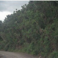 Lower Suurberg Pass near Coerney Lower Suurberg Pass near Coerney |
Image
|
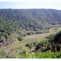 Maitland Forest (the former Landman's Bush) on lower De Stades River Maitland Forest (the former Landman's Bush) on lower De Stades River |
Image
|
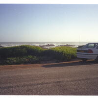
 Marine Drive near Willows, Port Elizabeth Marine Drive near Willows, Port Elizabeth |
Image
|
 Marine Drive, behind University of Port Elizabeth Marine Drive, behind University of Port Elizabeth |
Image
|
 Marine Drive, behind University of Port Elizabeth Marine Drive, behind University of Port Elizabeth |
Image
|
 Marine Drive, behind University of Port Elizabeth Marine Drive, behind University of Port Elizabeth |
Image
|
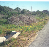
 Marine Drive, near Noordhoek, Port Elizabeth Marine Drive, near Noordhoek, Port Elizabeth |
Image
|
 Marine Drive, near Shelly Bay, Port Elizabeth Marine Drive, near Shelly Bay, Port Elizabeth |
Image
|
 Michael Drive Michael Drive |
Image
|
| Michael Drive |
Image
|
 Middle of Coega River Flats, 25km north Port Elizabeth central Middle of Coega River Flats, 25km north Port Elizabeth central |
Image
|
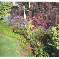
 Miss HJ Vanderplank's stoep, 86 Kruger Gardens, Summerstrand, Port Elizabeth Miss HJ Vanderplank's stoep, 86 Kruger Gardens, Summerstrand, Port Elizabeth |
Image
|
 Miss HJ Vanderplank's stoep, 86 Kruger Gardens, Summerstrand, Port Elizabeth Miss HJ Vanderplank's stoep, 86 Kruger Gardens, Summerstrand, Port Elizabeth |
Image
|
 Mount Misery between Coldspring and Atherstone, 10 km west of Grahamstown Mount Misery between Coldspring and Atherstone, 10 km west of Grahamstown |
Image
|
 Mount Thomas on the inner range of the Amathole Mountains between Hogsback to the west and Dohne Peak above Stutterheim to the east Mount Thomas on the inner range of the Amathole Mountains between Hogsback to the west and Dohne Peak above Stutterheim to the east |
Image
|
 Mr. Harold Norton's farm 'Clifton', in the Grahamstown district Mr. Harold Norton's farm 'Clifton', in the Grahamstown district |
Image
|
 Municipal ground along east side of the Marine Drive near Noordhoek, Port Elizabeth Municipal ground along east side of the Marine Drive near Noordhoek, Port Elizabeth |
Image
|
 N. Border of Grassridge, Uitenhage N. Border of Grassridge, Uitenhage |
Image
|
 N2 on high ground of right bank of Nazaar River, 5km west of Sevenfountains and 28km SW of Grahamstown, Albany N2 on high ground of right bank of Nazaar River, 5km west of Sevenfountains and 28km SW of Grahamstown, Albany |
Image
|
 N2 on high ground of right bank of Nazaar River, 5km west of Sevenfountains and 28km SW of Grahamstown, Albany N2 on high ground of right bank of Nazaar River, 5km west of Sevenfountains and 28km SW of Grahamstown, Albany |
Image
|
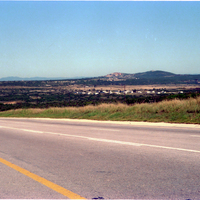 National Road out of Koega River above Salt Pans National Road out of Koega River above Salt Pans |
Image
|
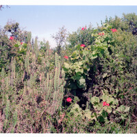
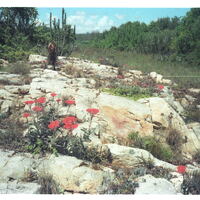 Natural rockery on Amanzi farm Uitenhage district Natural rockery on Amanzi farm Uitenhage district |
Image
|
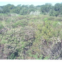
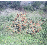
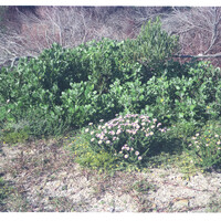
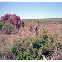
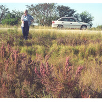
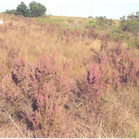
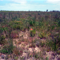 Natural veld at Bridgemead, 16km from Port Elizabeth central Natural veld at Bridgemead, 16km from Port Elizabeth central |
Image
|
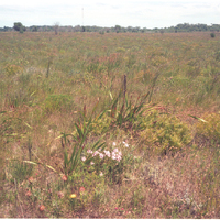 Natural veld at Bridgemead, 16km from Port Elizabeth central Natural veld at Bridgemead, 16km from Port Elizabeth central |
Image
|