Skead, C. J. (Cuthbert John)

Item

Alternative Title
Jack Skead
Subject - Occupation
Ornithologist
Botanist
Naturalist
Description
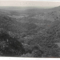
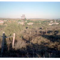
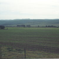
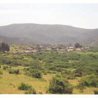
Cuthbert John “Jack” Skead (1912–2006) was a renowned South African naturalist, ornithologist, botanist, and historian of the Eastern Cape environment. Throughout his extensive career, he made significant contributions to the study of southern African biogeography, animal distribution, and historical ecology.

Skead served as Director of the Albany Museum in Grahamstown (now Makhanda) and later became a Research Associate at the Percy FitzPatrick Institute of African Ornithology at the University of Cape Town. His enduring legacy includes his meticulous, multi-decadal documentation of species distributions and historical records, culminating in major works such as "Historical Incidence of the Larger Mammals in the Eastern Cape" and subsequent volumes on the Cape Province.

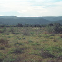
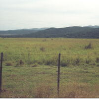
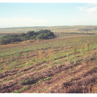
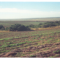
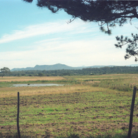
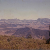
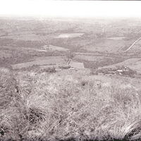
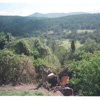
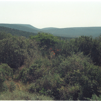
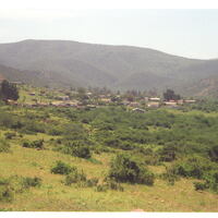
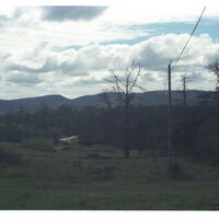
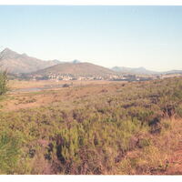
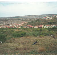
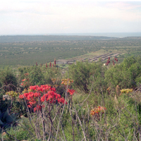
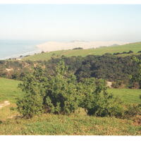
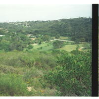
Although best known for his zoological scholarship, Skead was also deeply engaged in botanical research. His field notebooks, habitat photographs, and observations reflect a holistic approach to understanding the interrelationships between plants, animals, and their environments. His botanical interests informed much of his later ecological and historical work, contributing to our understanding of vegetation patterns and environmental change in the region.
Identifier
Skead, C. J. (Cuthbert John)
https://www.wikidata.org/wiki/Q65607671
Given name
Cuthbert John
familyName
Skead
gender
Male

Linked resources

Items with "Creator: Skead, C. J. (Cuthbert John)"
Title Class
Loerie Reserve, Port Elizabeth Image
Loerie River passing under low-water bridge into Loerie Reserve Image
Look-out picnis site of Van Staden's Wild Flower Reserve, Port Elizabeth Image
Looking across the bed of the Coerney River near Coerney towards the bush-covered foothills of the Suurberge Image
Looking across the eastern sector of the Quaggasvlakte just south of Paterson sandflats, Alexandria Image
Looking across the eastern sector of the Quaggasvlakte just south of Paterson sandflats, Alexandria towards Bushman's River Image
Looking across the Greenhouse Flats, west of Port Elizabeth to Witteklip Mt Image
Looking across the Keiskamma basin from West Pirie Peak (Hoho Peak) to the three Hogsback peaks. To the left Bhukazana, centre Nguku (flat-top) and Mnyameni to the right Image
Looking down from the top of Highlands mountain to the homestead on Carl's Rust farm far below, and the upper Kariega Valley Image
Looking down into the 'Rietfontein' amphitheatre on a tributary leading to Van Staden's River mouth Image
Looking down on the lower reaches of uMthaleni Valley, Kei Road, King William's Town Image
Looking east over Wolwefontein, Steytlerville Image
Looking north from 5 km west of Paterson (sandflats), Alexandria Image
Looking north to the Suurberg Enon village Image
Looking northwards from Steylerville Road, Uitenhage Image
Looking northwards up the Witte River to Enon village, Uitenhage, with the Suurberg in the background Image
Looking over Galgenbosch site (Thornhill) Image
Looking over Tweerivieren, Langkloof, Uniondale, not far east of Joubertina Image
Looking south over desecrated Swartkops River valley towards the old Cradock Place (Papenkuilsfontein) from kwaMagxaki Hill Image
Looking southeast from top of easternmost Coega Kop over low bushy ground towards the Coega River mouth (indicated by a gap in the horizon hills, a distance of 6km) Image
Looking towards Algoa Bay Image
Looking up Baakens River Valley, Port Elizabeth, from Wellington Park on right bank Image
Looking up left bank of Van Staden's River from campsite at the mouth Image

New Tags

I agree with terms of use and I accept to free my contribution under the licence CC BY-SA.

Position: 59 (36 views)