Skead, C. J. (Cuthbert John)
Item
-
Alternative Title
-
Jack Skead
-
Subject - Occupation
-
Ornithologist
-
Botanist
-
Naturalist
-
Description
-
Cuthbert John “Jack” Skead (1912–2006) was a renowned South African naturalist, ornithologist, botanist, and historian of the Eastern Cape environment. Throughout his extensive career, he made significant contributions to the study of southern African biogeography, animal distribution, and historical ecology.
Skead served as Director of the Albany Museum in Grahamstown (now Makhanda) and later became a Research Associate at the Percy FitzPatrick Institute of African Ornithology at the University of Cape Town. His enduring legacy includes his meticulous, multi-decadal documentation of species distributions and historical records, culminating in major works such as "Historical Incidence of the Larger Mammals in the Eastern Cape" and subsequent volumes on the Cape Province.
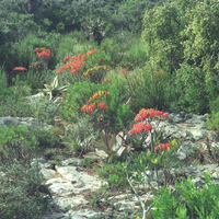
Although best known for his zoological scholarship, Skead was also deeply engaged in botanical research. His field notebooks, habitat photographs, and observations reflect a holistic approach to understanding the interrelationships between plants, animals, and their environments. His botanical interests informed much of his later ecological and historical work, contributing to our understanding of vegetation patterns and environmental change in the region.
-
Given name
-
Cuthbert John
-
familyName
-
Skead
-
gender
-
Male
Linked resources
Items with "Creator: Skead, C. J. (Cuthbert John)"
| Title |
Class |
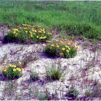
 Corner of Vides garden Corner of Vides garden |
Image
|
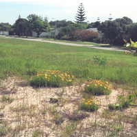
 Corner Stranfontein Road & Maritz Street, Summerstrand, Port Elizabeth Corner Stranfontein Road & Maritz Street, Summerstrand, Port Elizabeth |
Image
|
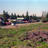
 Cotswold Park, Newton Park, Port Elizabeth Cotswold Park, Newton Park, Port Elizabeth |
Image
|
 Cotswold Park, Newton Park, Port Elizabeth Cotswold Park, Newton Park, Port Elizabeth |
Image
|
 Cotswold Park, Newton Park, Port Elizabeth Cotswold Park, Newton Park, Port Elizabeth |
Image
|
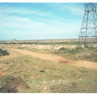
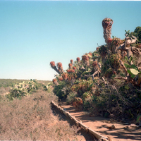
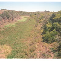
 Desecrated Swartkops River Valley Desecrated Swartkops River Valley |
Image
|
 Desecrated Swartkops River Valley Desecrated Swartkops River Valley |
Image
|
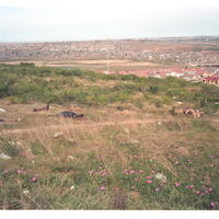 Desecration of Swartkops River valley looking south from kwaMagxaki hill over Korsten Desecration of Swartkops River valley looking south from kwaMagxaki hill over Korsten |
Image
|
 Die Kerf' on the Suurberg Pass above Coerney Die Kerf' on the Suurberg Pass above Coerney |
Image
|
 Distant view of Galgenbosch Country taken from the National Road Bridge in Van Staden's Wild Flower Reserve Distant view of Galgenbosch Country taken from the National Road Bridge in Van Staden's Wild Flower Reserve |
Image
|
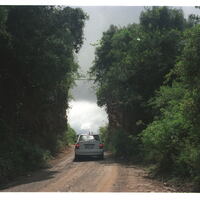
 Down De Stades River Valley in Maitland River Reserve, 28 km west of Port Elizabeth central Down De Stades River Valley in Maitland River Reserve, 28 km west of Port Elizabeth central |
Image
|
 Down the northwestern slope of the Swartkops Saltpan Down the northwestern slope of the Swartkops Saltpan |
Image
|
 Dry bed of Bushman's River, from N2 bridge between Carnavondale & Woodbury farms, Port Elizabeth to Grahamstown road Dry bed of Bushman's River, from N2 bridge between Carnavondale & Woodbury farms, Port Elizabeth to Grahamstown road |
Image
|
 Dune between Admiralty Way & the Recife School, Summerstrand, Port Elizabeth Dune between Admiralty Way & the Recife School, Summerstrand, Port Elizabeth |
Image
|
 Dune between Admiralty Way & the Recife School, Summerstrand, Port Elizabeth Dune between Admiralty Way & the Recife School, Summerstrand, Port Elizabeth |
Image
|
 East & north Coega kops, from East near Coega Railway East & north Coega kops, from East near Coega Railway |
Image
|
 East & north Coega kops, from East near Coega Railway East & north Coega kops, from East near Coega Railway |
Image
|
 East of Springmount, Alexandria East of Springmount, Alexandria |
Image
|
 East of Springmount, Alexandria coast East of Springmount, Alexandria coast |
Image
|
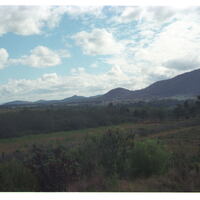
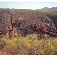 Eastern end of Baviaanskloof, Willowmore Eastern end of Baviaanskloof, Willowmore |
Image
|
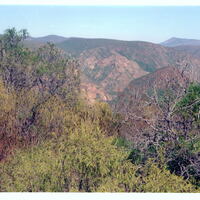 Eastern end of Baviaanskloof, Willowmore Eastern end of Baviaanskloof, Willowmore |
Image
|
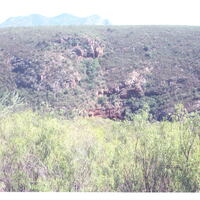 Eastern end of Baviaanskloof, Willowmore Eastern end of Baviaanskloof, Willowmore |
Image
|
 Eastern end of Schoenmakerskop village Eastern end of Schoenmakerskop village |
Image
|
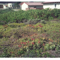 Eastern end of Schoenmakerskop village, Port Elizabeth Eastern end of Schoenmakerskop village, Port Elizabeth |
Image
|
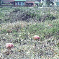 Eastern end of Schoenmakerskop village, Port Elizabeth Eastern end of Schoenmakerskop village, Port Elizabeth |
Image
|