1910 - pre-1994 Maps
Items
-
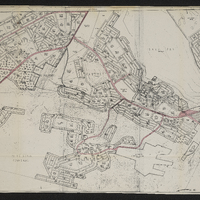 Bethelsdorp Coloured Zone
 -
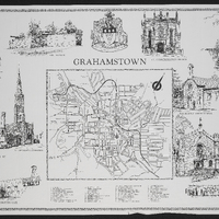 Grahamstown
 -
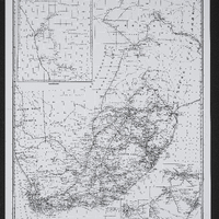 Standard railway map of South Africa
 -
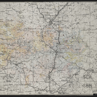 Ladysmith area
 -
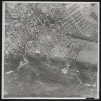 Aerial photograph of Grahamstown
 -
 Langholme-Martindale railway
 -
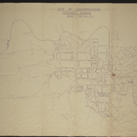
 Contour plan of the city of Grahamstown, 1934
 -
 City of Grahamstown : electricity scheme
 -
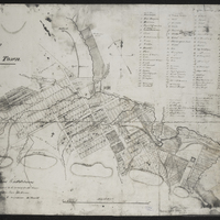
 A general plan of Cradock
 -
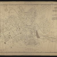 Contour plan of Grahamstown
 -
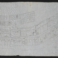
 Plan of Graham's Town, Plan of Grahamstown
 -
 Plan of Graham's Town, Plan of Grahamstown
 -
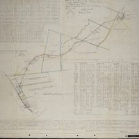
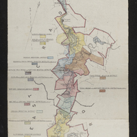 Map of the Great Fish River Irrigation Board (as per government proclamation no. 63 of 1920 : showing the areas under minor boards and private schemes)
 -
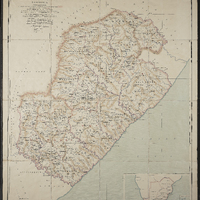 Plan of the Diocese of St John's, Kaffraria
 -
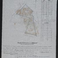 Diagram of the farm Wilton, being a portion of the farm known as Hoffman's Kloof, granted under amended title to Henry Webb and Clement John Sneyd on the 26th day of July 1897, surveyed and beaconed by me according to regulations 19th July 1910
 -
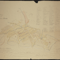
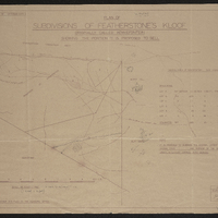 Plan of the subdivisions of Featherstone's Kloof originally called Kowiefontein showing the portion it is proposed to sell
 -
 Rhodes University - the twelfth month of this year of grace 1961
 -
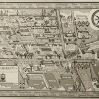
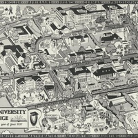 Rhodes University College map drawn by Jasmin Gowan-Forbes, 1937
 -
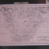 Map of South Africa