Pre 1910 Maps
Items
-
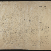
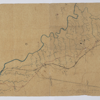
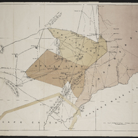
 Divisional map of Albany
 -
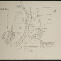
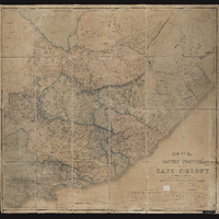 Map of the Eastern frontier of the Cape Colony
 -
 Divisional map of Albany
 -
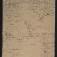
 Relief of Ladysmith
 -
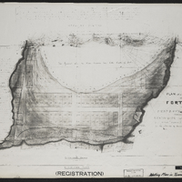 Plan of a section of ground situated between Fort England and the property of Mr John Carlisle, shewing its subdivision into allotments form actual survey executed by order of Government in the months of January and February 1857…
 -
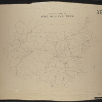
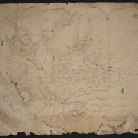 Plan shewing military defences of King Williams Town
 -
 Sketch of Fort Beaufort
 -
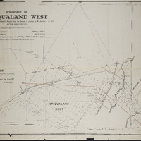 Boundary of Griqualand West
 -
 Griqualand West Northern Boundary Commission
 -
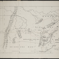 Map of Stellaland
 -
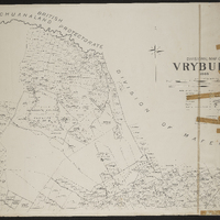 Divisional map of Vryburg
 -
 Inspection of telegraph line
 -
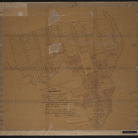
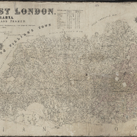 Plan of the division of East London, British Kaffraria
 -
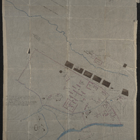
 Woburn Military Village
 -
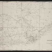 Cape of Good Hope
 -
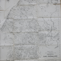 Sketch map of the portion of the territory of East Griqualand : traversed while settling locations by the vacant Land Commissioners
 -
 Eastern Frontier District : King William's Town : general plan of W.D. property,Eastern Frontier District : King William's Town : general plan of War Department property
 -
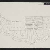
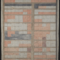
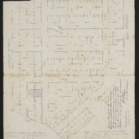 Plan of properties bounded by High Street [Roberts Street], African Street, [Cawood Street] and [Spring Street] being Block F of the lands granted to the municipality, giving Lot number and specific details of Lot 63
 -
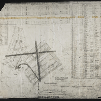 Noting plan : Hottentot and Fingo location Grahamstown
 -
 Plan of the Baptist section of the old cemetery with some names and plot numbers
 -
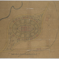 Plan of proposed buildings for the Inter State Native College (later Fort Hare University)
 -
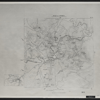
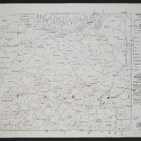
 Divisional map of King William's Town
 -
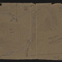 Sketch of ground in Keiskamma Hoek, Jan 22, 1852
 -
 Kenhart
 -
 Map marking the boundaries of Stellaland and Goshen and showing surrounding areas,Report of the commissioners appointed to inquire into the question of the northern boundary of Griqualand West